
Wenne topographic map
Interactive map
Click on the map to display elevation.
About this map
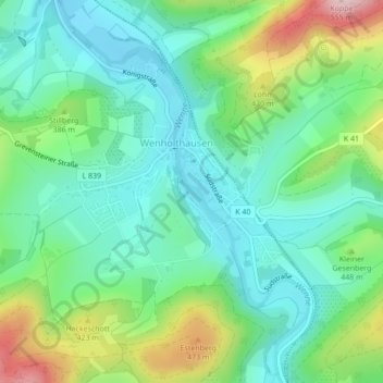
Name: Wenne topographic map, elevation, terrain.
Average elevation: 1,138 ft
Minimum elevation: 876 ft
Maximum elevation: 1,778 ft
Other topographic maps
Click on a map to view its topography, its elevation and its terrain.
Cobbenrode
Deutschland > Nordrhein-Westfalen > Eslohe > Cobbenrode
Cobbenrode, Eslohe, Hochsauerlandkreis, Nordrhein-Westfalen, Deutschland
Average elevation: 1,506 ft