
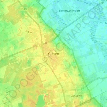
Gieten topographic map
Interactive map
Click on the map to display elevation.
About this map
Name: Gieten topographic map, elevation, terrain.
Location: Gieten, Drenthe, Netherlands, 9461, Netherlands (52.96331 6.72391 53.04331 6.80391)
Average elevation: 39 ft
Minimum elevation: 3 ft
Maximum elevation: 89 ft