
El Ocotito topographic map
Interactive map
Click on the map to display elevation.
About this map
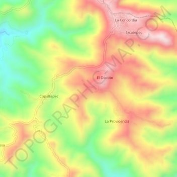
Name: El Ocotito topographic map, elevation, terrain.
Location: El Ocotito, Arcelia, Guerrero, Mexico (18.25083 -100.11861 18.29083 -100.07861)
Average elevation: 4,101 ft
Minimum elevation: 3,251 ft
Maximum elevation: 4,895 ft