
Island Lake topographic map
Interactive map
Click on the map to display elevation.
About this map
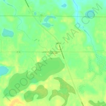
Name: Island Lake topographic map, elevation, terrain.
Location: Island Lake, Beltrami County, Minnesota, USA (47.76885 -95.03805 47.80885 -94.99805)
Average elevation: 1,339 ft
Minimum elevation: 1,296 ft
Maximum elevation: 1,378 ft