
Esclavitud topographic map
Interactive map
Click on the map to display elevation.
About this map
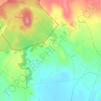
Name: Esclavitud topographic map, elevation, terrain.
Location: Esclavitud, Cihuri, La Rioja, España (42.58391 -2.93537 42.60391 -2.91537)
Average elevation: 1,749 ft
Minimum elevation: 1,572 ft
Maximum elevation: 2,018 ft