
Congress Park topographic map
Interactive map
Click on the map to display elevation.
About this map
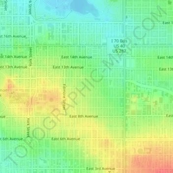
Name: Congress Park topographic map, elevation, terrain.
Location: Congress Park, Denver, Denver County, Colorado, 80206, USA (39.72372 -104.95837 39.74372 -104.93837)
Average elevation: 5,341 ft
Minimum elevation: 5,266 ft
Maximum elevation: 5,433 ft
Other topographic maps
Click on a map to view its topography, its elevation and its terrain.
Bluff Lake Nature Center
Bluff Lake Nature Center, Sand Creek Trail, Denver, Denver County, Colorado, 80010-1425, USA
Average elevation: 5,318 ft
Waterfalls
Waterfalls, Denver, Denver County, Colorado, USA
Average elevation: 5,528 ft