
Dungti topographic map
Interactive map
Click on the map to display elevation.
About this map
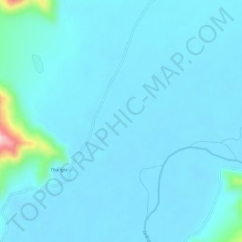
Name: Dungti topographic map, elevation, terrain.
Location: Dungti, Leh District, Jammu and Kashmir, India (33.20209 78.87294 33.24209 78.91294)
Average elevation: 13,658 ft
Minimum elevation: 13,579 ft
Maximum elevation: 14,629 ft