
Lillian topographic map
Interactive map
Click on the map to display elevation.
About this map
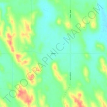
Name: Lillian topographic map, elevation, terrain.
Location: Lillian, Custer County, Nebraska, USA (41.56973 -99.66428 41.60973 -99.62428)
Average elevation: 2,579 ft
Minimum elevation: 2,507 ft
Maximum elevation: 2,700 ft