
Plauen topographic map
Interactive map
Click on the map to display elevation.
About this map
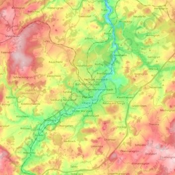
Name: Plauen topographic map, elevation, terrain.
Location: Plauen, Vogtlandkreis, Saxony, Germany (50.43067 12.05941 50.57488 12.22946)
Average elevation: 1,407 ft
Minimum elevation: 984 ft
Maximum elevation: 1,814 ft