
El Nancito topographic map
Interactive map
Click on the map to display elevation.
About this map
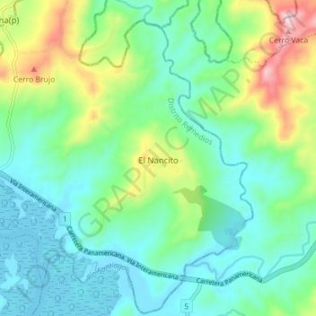
Name: El Nancito topographic map, elevation, terrain.
Location: El Nancito, Distrito Remedios, Chiriquí, Panamá (8.20754 -81.78328 8.27593 -81.71306)
Average elevation: 400 ft
Minimum elevation: -3 ft
Maximum elevation: 1,545 ft