
Santa Inés Jilotzingo topographic map
Interactive map
Click on the map to display elevation.
About this map
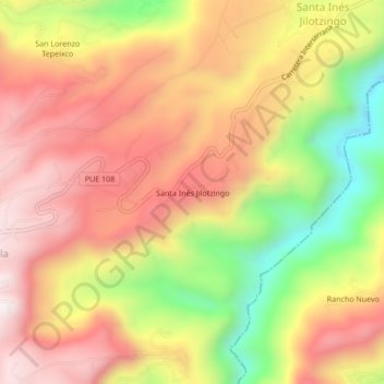
Name: Santa Inés Jilotzingo topographic map, elevation, terrain.
Location: Santa Inés Jilotzingo, Zacatlán, Puebla, México (19.99389 -97.93694 20.03389 -97.89694)
Average elevation: 5,515 ft
Minimum elevation: 4,075 ft
Maximum elevation: 6,565 ft