
Ry Angon topographic map
Interactive map
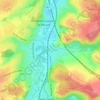
Click on the map to display elevation.
About this map
Name: Ry Angon topographic map, elevation, terrain.
Average elevation: 295 ft
Minimum elevation: 174 ft
Maximum elevation: 420 ft
Other topographic maps
Click on a map to view its topography, its elevation and its terrain.
Bois de Lauzelle
Belgique > Wallonie > Ottignies-Louvain-la-Neuve
Bois de Lauzelle, L'Hocaille, Louvain-la-Neuve, Ottignies-Louvain-la-Neuve, Nivelles, Brabant wallon, Wallonie, 1348, Belgique
Average elevation: 354 ft
Céroux-Mousty
Belgique > Wallonie > Ottignies-Louvain-la-Neuve
Céroux-Mousty, Ottignies-Louvain-la-Neuve, Nivelles, Brabant wallon, Wallonie, 1341, Belgique
Average elevation: 335 ft