
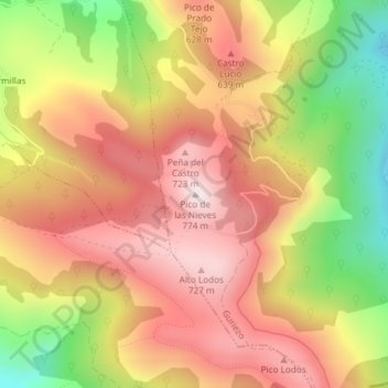
Pico de las Nieves topographic map
Interactive map
Click on the map to display elevation.
About this map
Name: Pico de las Nieves topographic map, elevation, terrain.
Location: Pico de las Nieves, Guriezo, Asón-Agüera, Cantabria, España (43.31082 -3.35693 43.31092 -3.35683)
Average elevation: 1,660 ft
Minimum elevation: 574 ft
Maximum elevation: 2,441 ft
Other topographic maps
Click on a map to view its topography, its elevation and its terrain.