
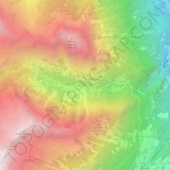
Van d'en Haut topographic map
Interactive map
Click on the map to display elevation.
About this map
Name: Van d'en Haut topographic map, elevation, terrain.
Location: Van d'en Haut, Salvan, Saint-Maurice, Wallis, 1922, Switzerland (46.12029 6.98047 46.16029 7.02047)
Average elevation: 5,404 ft
Minimum elevation: 1,486 ft
Maximum elevation: 8,816 ft