
Rio Pindaré topographic map
Interactive map
Click on the map to display elevation.
About this map
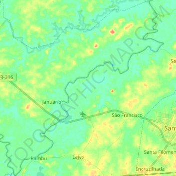
Name: Rio Pindaré topographic map, elevation, terrain.
Average elevation: 49 ft
Minimum elevation: 3 ft
Maximum elevation: 144 ft
Other topographic maps
Click on a map to view its topography, its elevation and its terrain.
Beira-Rio
Brasil > Maranhão > Pindaré-Mirim
Beira-Rio, Rua São Pedro, Pindaré-Mirim, Microrregião de Pindaré, Mesorregião Oeste Maranhense, Maranhão, Região Nordeste, Brasil
Average elevation: 36 ft