
Kiari topographic map
Interactive map
Click on the map to display elevation.
About this map
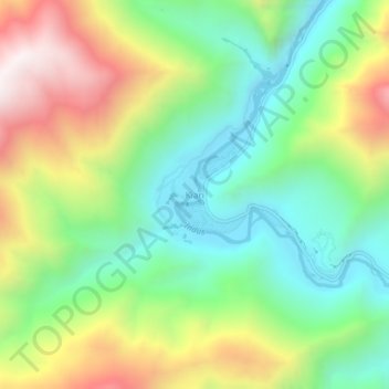
Name: Kiari topographic map, elevation, terrain.
Location: Kiari, Leh Tehsil, Leh district, Ladakh, India (33.45840 78.10831 33.49840 78.14831)
Average elevation: 13,999 ft
Minimum elevation: 12,569 ft
Maximum elevation: 16,335 ft