
Radom topographic map
Interactive map
Click on the map to display elevation.
About this map
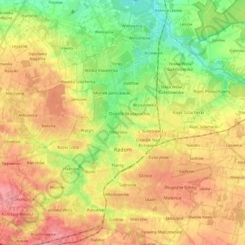
Name: Radom topographic map, elevation, terrain.
Location: Radom, Masovian Voivodeship, Poland (51.34862 21.05319 51.48586 21.25907)
Average elevation: 551 ft
Minimum elevation: 417 ft
Maximum elevation: 676 ft