
Mahagama topographic map
Interactive map
Click on the map to display elevation.
About this map
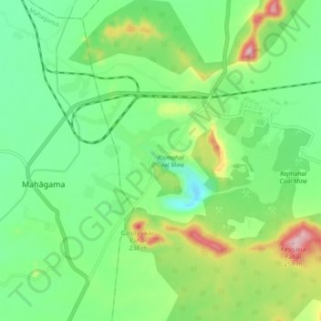
Name: Mahagama topographic map, elevation, terrain.
Location: Mahagama, Godda, Jharkhand, 814154, India (25.00025 87.31093 25.08025 87.39093)
Average elevation: 305 ft
Minimum elevation: 33 ft
Maximum elevation: 879 ft