
Rosmeer topographic map
Interactive map
Click on the map to display elevation.
About this map
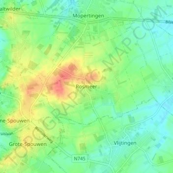
Name: Rosmeer topographic map, elevation, terrain.
Location: Rosmeer, Tongeren, Limburg, Vlaanderen, 3740, België (50.82583 5.55537 50.86583 5.59537)
Average elevation: 308 ft
Minimum elevation: 246 ft
Maximum elevation: 420 ft