
Blankenberge topographic map
Interactive map
Click on the map to display elevation.
About this map
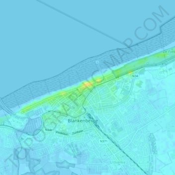
Name: Blankenberge topographic map, elevation, terrain.
Location: Blankenberge, Brugge, West Flanders, Flanders, Belgium (51.30629 3.10719 51.32773 3.15598)
Other topographic maps
Click on a map to view its topography, its elevation and its terrain.
Uitkerke
Belgium > West Flanders > Brugge > Blankenberge
Uitkerke, Blankenberge, Brugge, West Flanders, Flanders, 8370, Belgium
Average elevation: 3 ft