
Río Ramis topographic map
Interactive map
Click on the map to display elevation.
About this map
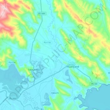
Name: Río Ramis topographic map, elevation, terrain.
Location: Río Ramis, Huancané, Puno, Perú (-15.27557 -69.81863 -15.09475 -69.77962)
Average elevation: 12,897 ft
Minimum elevation: 12,487 ft
Maximum elevation: 14,902 ft
Other topographic maps
Click on a map to view its topography, its elevation and its terrain.