
Zoji La topographic map
Interactive map
Click on the map to display elevation.
About this map
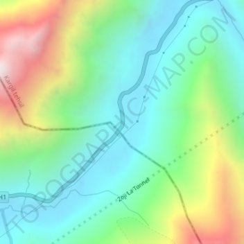
Name: Zoji La topographic map, elevation, terrain.
Location: Zoji La, Gumri, Anantnag, Jammu and Kashmir, India (34.27007 75.46111 34.29007 75.48111)
Average elevation: 12,635 ft
Minimum elevation: 11,421 ft
Maximum elevation: 15,331 ft