
Distrito Rural Este topographic map
Interactive map
Click on the map to display elevation.
About this map
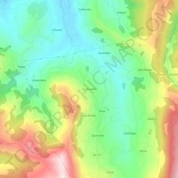
Name: Distrito Rural Este topographic map, elevation, terrain.
Location: Distrito Rural Este, La Cuadra, Astúrias, 33350, Espanha (43.44586 -5.64523 43.48586 -5.60523)
Average elevation: 807 ft
Minimum elevation: 154 ft
Maximum elevation: 1,854 ft