
Onaping topographic map
Interactive map
Click on the map to display elevation.
About this map
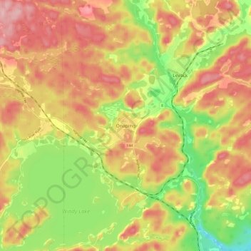
Name: Onaping topographic map, elevation, terrain.
Location: Onaping, Ontario, P0M 2R0, Canada (46.58344 -81.45560 46.66344 -81.37560)
Average elevation: 1,204 ft
Minimum elevation: 879 ft
Maximum elevation: 1,463 ft