
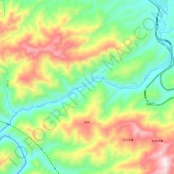
补远江 topographic map
Interactive map
Click on the map to display elevation.
About this map
Name: 补远江 topographic map, elevation, terrain.
Location: 补远江, 景哈哈尼族乡, 景洪市, 勐腊县, 西双版纳傣族自治州, 云南省, 666100, 中国 (21.81375 101.15928 21.88167 101.27774)
Average elevation: 2,894 ft
Minimum elevation: 1,617 ft
Maximum elevation: 4,951 ft