
Mejia topographic map
Interactive map
Click on the map to display elevation.
About this map
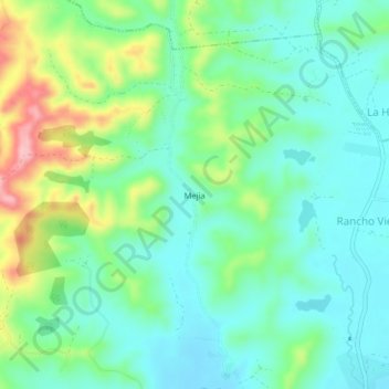
Name: Mejia topographic map, elevation, terrain.
Location: Mejia, Chone, Manabí, Ecuador (-0.64119 -80.12462 -0.60119 -80.08462)
Average elevation: 203 ft
Minimum elevation: 52 ft
Maximum elevation: 571 ft