
Mohanlalganj topographic map
Interactive map
Click on the map to display elevation.
About this map
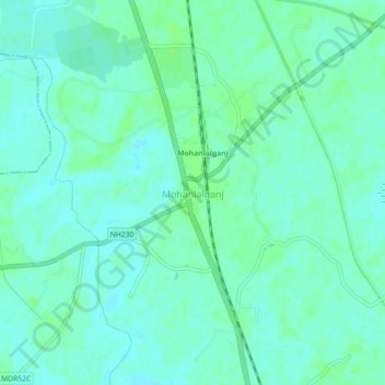
Name: Mohanlalganj topographic map, elevation, terrain.
Location: Mohanlalganj, Lucknow District, Uttar Pradesh, 227305, India (26.66064 80.96308 26.70064 81.00308)
Average elevation: 394 ft
Minimum elevation: 381 ft
Maximum elevation: 410 ft
Other topographic maps
Click on a map to view its topography, its elevation and its terrain.
Amethi
India > Uttar Pradesh > Mohanlalganj
Amethi, Mohanlalganj, Lucknow, Uttar Pradesh, 227120, India
Average elevation: 367 ft