
Manantay topographic map
Interactive map
Click on the map to display elevation.
About this map
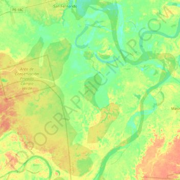
Name: Manantay topographic map, elevation, terrain.
Location: Manantay, Provincia de Coronel Portillo, Ucayali, Perú (-8.74932 -74.66245 -8.38629 -74.32246)
Average elevation: 492 ft
Minimum elevation: 446 ft
Maximum elevation: 551 ft
Other topographic maps
Click on a map to view its topography, its elevation and its terrain.
Área de Conservación Privada Campo Verde
Área de Conservación Privada Campo Verde, Manantay, Coronel Portillo, Ucayali, Perú
Average elevation: 509 ft