
下新生邑村 topographic map
Interactive map
Click on the map to display elevation.
About this map
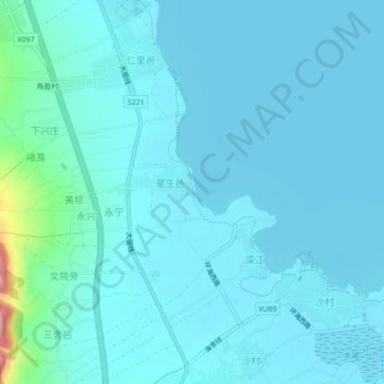
Name: 下新生邑村 topographic map, elevation, terrain.
Location: 下新生邑村, 喜洲镇, 大理市, 大理白族自治州, 云南省, 671004, 中国 (25.85761 100.10855 25.89761 100.14855)
Average elevation: 6,499 ft
Minimum elevation: 6,437 ft
Maximum elevation: 7,103 ft