
Vengambakkam topographic map
Interactive map
Click on the map to display elevation.
About this map
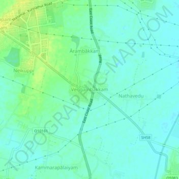
Name: Vengambakkam topographic map, elevation, terrain.
Average elevation: 23 ft
Minimum elevation: 3 ft
Maximum elevation: 59 ft
Other topographic maps
Click on a map to view its topography, its elevation and its terrain.
Elayanarkuppam
India > Tamil Nadu > Tirukalukundram
Elayanarkuppam, Tirukalukundram, Chengalpattu District, Tamil Nadu, 603102, India
Average elevation: 16 ft