
Table Mountain National Park topographic map
Interactive map
Click on the map to display elevation.
About this map
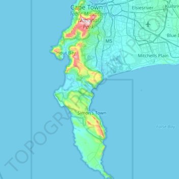
Name: Table Mountain National Park topographic map, elevation, terrain.
Average elevation: 121 ft
Minimum elevation: 0 ft
Maximum elevation: 3,517 ft