
Dawangguzhuang topographic map
Interactive map
Click on the map to display elevation.
About this map
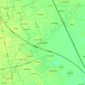
Name: Dawangguzhuang topographic map, elevation, terrain.
Location: Dawangguzhuang, Wuqing District, China (39.53100 116.77987 39.61100 116.85987)
Average elevation: 39 ft
Minimum elevation: 10 ft
Maximum elevation: 56 ft
Other topographic maps
Click on a map to view its topography, its elevation and its terrain.