
Mount Toba Supervolcano topographic map
Interactive map
Click on the map to display elevation.
About this map
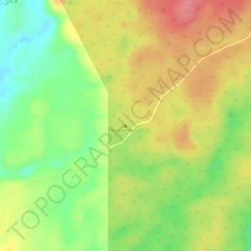
Name: Mount Toba Supervolcano topographic map, elevation, terrain.
Location: Mount Toba Supervolcano, Samosir, North Sumatra, Indonesia (2.57995 98.82995 2.58005 98.83005)
Average elevation: 5,128 ft
Minimum elevation: 4,967 ft
Maximum elevation: 5,262 ft