
Bechloul topographic map
Interactive map
Click on the map to display elevation.
About this map
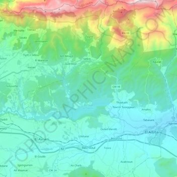
Name: Bechloul topographic map, elevation, terrain.
Location: Bechloul, Daïra Bechloul, Bouira, 10012, Algerien (36.28073 4.02676 36.46972 4.17342)
Average elevation: 2,434 ft
Minimum elevation: 1,158 ft
Maximum elevation: 7,448 ft