
Taran topographic map
Interactive map
Click on the map to display elevation.
About this map
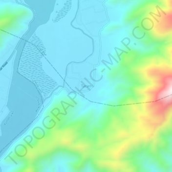
Name: Taran topographic map, elevation, terrain.
Location: Taran, Kuz Kunar, Nangarhar, Afghanistan (34.46726 70.56306 34.50726 70.60306)
Average elevation: 2,323 ft
Minimum elevation: 1,837 ft
Maximum elevation: 4,101 ft