
Höxter topographic map
Interactive map
Click on the map to display elevation.
About this map
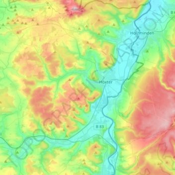
Name: Höxter topographic map, elevation, terrain.
Location: Höxter, Kreis Höxter, Noordrijn-Westfalen, 37671, Duitsland (51.67189 9.24909 51.86488 9.46174)
Average elevation: 791 ft
Minimum elevation: 266 ft
Maximum elevation: 1,617 ft