
Mabompré topographic map
Interactive map
Click on the map to display elevation.
About this map
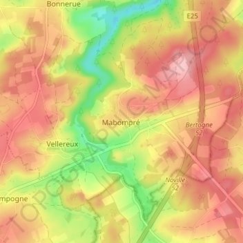
Name: Mabompré topographic map, elevation, terrain.
Location: Mabompré, Bastenaken, Luxemburg, Wallonië, 6663, België (50.07893 5.71845 50.11893 5.75845)
Average elevation: 1,440 ft
Minimum elevation: 1,165 ft
Maximum elevation: 1,631 ft