
Kerelli topographic map
Interactive map
Click on the map to display elevation.
About this map
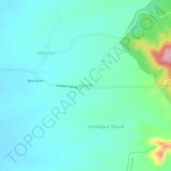
Name: Kerelli topographic map, elevation, terrain.
Location: Kerelli, Dharoor mandal, Vikarabad, Telangana, India (17.29090 77.80824 17.33090 77.84824)
Average elevation: 1,867 ft
Minimum elevation: 1,772 ft
Maximum elevation: 2,290 ft