
Herselt topographic map
Interactive map
Click on the map to display elevation.
About this map
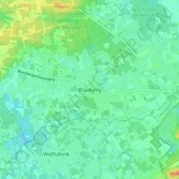
Name: Herselt topographic map, elevation, terrain.
Location: Herselt, Blauberg, Turnhout, Antwerpen, Vlaanderen, 2230, België (51.02389 4.90927 51.06389 4.94927)
Average elevation: 62 ft
Minimum elevation: 30 ft
Maximum elevation: 148 ft