
Orelia topographic map
Interactive map
Click on the map to display elevation.
About this map
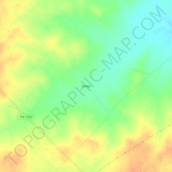
Name: Orelia topographic map, elevation, terrain.
Location: Orelia, Frio County, Texas, United States of America (28.66637 -98.86836 28.70637 -98.82836)
Average elevation: 463 ft
Minimum elevation: 397 ft
Maximum elevation: 518 ft