
Baker River topographic map
Interactive map
Click on the map to display elevation.
About this map
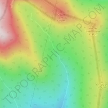
Name: Baker River topographic map, elevation, terrain.
Location: Baker River, Woodstock, Grafton County, New Hampshire, USA (44.00412 -71.81756 44.02476 -71.80432)
Average elevation: 3,481 ft
Minimum elevation: 2,638 ft
Maximum elevation: 4,613 ft