
Luttrellville topographic map
Interactive map
Click on the map to display elevation.
About this map
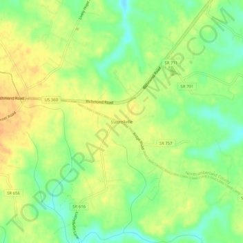
Name: Luttrellville topographic map, elevation, terrain.
Location: Luttrellville, Virginia, 22570, USA (37.92513 -76.60412 37.96513 -76.56412)
Average elevation: 112 ft
Minimum elevation: 49 ft
Maximum elevation: 161 ft