
Waadhoeke topographic map
Interactive map
Click on the map to display elevation.
About this map
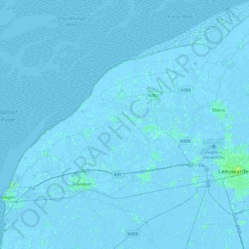
Name: Waadhoeke topographic map, elevation, terrain.
Location: Waadhoeke, Friesland, Nederland (53.12415 5.43212 53.36796 5.74930)
Average elevation: 0 ft
Minimum elevation: -13 ft
Maximum elevation: 30 ft
Other topographic maps
Click on a map to view its topography, its elevation and its terrain.
Oosterbierum
Nederland > Friesland > Waadhoeke
Oosterbierum, Waadhoeke, Friesland, Nederland
Average elevation: 0 ft