
Sankt Georgen am Längsee topographic map
Interactive map
Click on the map to display elevation.
About this map
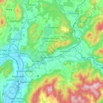
Name: Sankt Georgen am Längsee topographic map, elevation, terrain.
Average elevation: 2,054 ft
Minimum elevation: 1,493 ft
Maximum elevation: 3,504 ft