
Lake View Heights topographic map
Interactive map
Click on the map to display elevation.
About this map
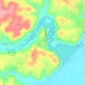
Name: Lake View Heights topographic map, elevation, terrain.
Location: Lake View Heights, Pike County, Ohio, 45690, USA (39.08729 -83.05046 39.12729 -83.01046)
Average elevation: 702 ft
Minimum elevation: 535 ft
Maximum elevation: 971 ft