
Apiay topographic map
Interactive map
Click on the map to display elevation.
About this map
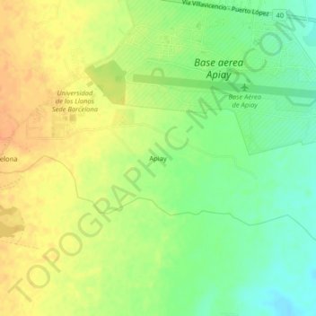
Name: Apiay topographic map, elevation, terrain.
Location: Apiay, Villavicencio, Capital, Meta, Colombia (4.04707 -73.59253 4.08707 -73.55253)
Average elevation: 1,234 ft
Minimum elevation: 1,168 ft
Maximum elevation: 1,293 ft
Other topographic maps
Click on a map to view its topography, its elevation and its terrain.
Villavicencio
Colombia > Meta > Villavicencio
Villavicencio, Capital, Meta, Orinoquia, Colombia
Average elevation: 2,854 ft
Villavicencio
Colombia > Meta > Villavicencio
Villavicencio, Meta, Colombia
Average elevation: 1,480 ft