
狮子山风景区 topographic map
Interactive map
Click on the map to display elevation.
About this map
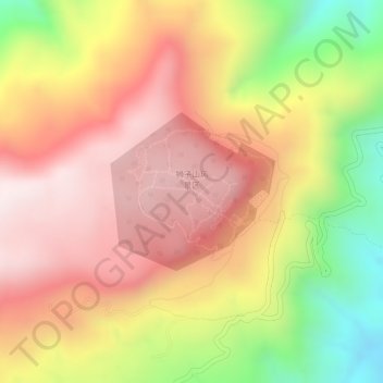
Name: 狮子山风景区 topographic map, elevation, terrain.
Location: 狮子山风景区, 武定县, 狮山镇, 武定县, 楚雄彝族自治州, 云南省, 中国 (25.53299 102.36458 25.54418 102.37745)
Average elevation: 7,244 ft
Minimum elevation: 6,070 ft
Maximum elevation: 7,982 ft