
Lake Wyangan topographic map
Interactive map
Click on the map to display elevation.
About this map
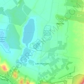
Name: Lake Wyangan topographic map, elevation, terrain.
Average elevation: 400 ft
Minimum elevation: 335 ft
Maximum elevation: 627 ft
Other topographic maps
Click on a map to view its topography, its elevation and its terrain.
Barren Box Swamp
Australia > New South Wales > Griffith City Council
Barren Box Swamp, Griffith City Council, New South Wales, Australia
Average elevation: 374 ft