
Plan d'eau du Canada topographic map
Interactive map
Click on the map to display elevation.
About this map
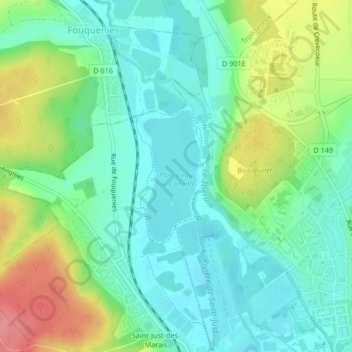
Name: Plan d'eau du Canada topographic map, elevation, terrain.
Average elevation: 299 ft
Minimum elevation: 203 ft
Maximum elevation: 502 ft
Other topographic maps
Click on a map to view its topography, its elevation and its terrain.
Le Mont aux Lièvres
France > Hauts-de-France > Oise > Beauvais
Le Mont aux Lièvres, Beauvais, Oise, Hauts-de-France, France métropolitaine, 60000, France
Average elevation: 331 ft