
Donnelley State Fish and Wildlife Area topographic map
Interactive map
Click on the map to display elevation.
About this map
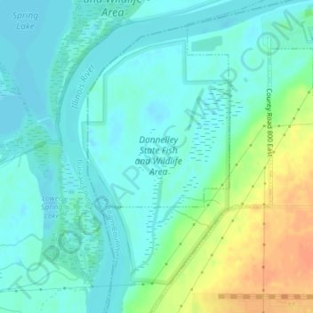
Name: Donnelley State Fish and Wildlife Area topographic map, elevation, terrain.
Average elevation: 476 ft
Minimum elevation: 436 ft
Maximum elevation: 574 ft